Login
Login

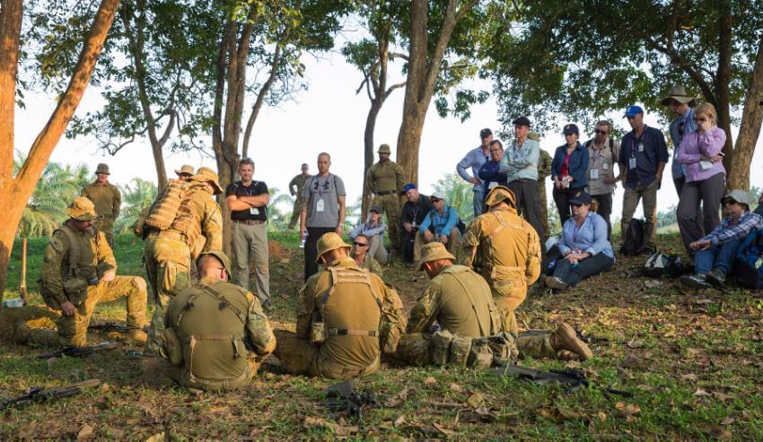
Virtual training environments have become an important means of training contemporary militaries. DST has recognised this and has initiated a program to improve the fidelity of virtual training programs.
To continue reading the rest of this article, please log in.
Create free account to get unlimited news articles and more!
Just how does one build a convincing virtual landscape? Defence scientists Dr Bin Lee (LD) and Jay Yu are facing that challenge as they create a physics-based virtual landscape as part of a signature modelling and simulation research program.
Defence uses software to generate generic, immersive digital landscapes in order to practice various command and control procedures easily and efficiently without going into the field. Dr Lee, Yu and colleagues are going a step further, using it to examine the hyperspectral signatures of soldiers and equipment in these landscapes and predict how well camouflage is performing.
The imperative for this work is a desire to improve on the limitations of conventional observer trials and static, 2D photo-simulations currently used to design camouflage uniforms and signature management materials.
To kick off the research, the scientists captured Australian landscape imagery from various viewpoints including overhead. They are now using terrain mapping software and a virtual landscape editor to embed the landscape into a digital world.
Assessment of camouflage nets has been the initial test case for the virtual landscape. The team originally started off by capturing 3D images of real camouflage nets. But these are complex shapes, and even if the same people set it up it will look different each time.
Yu explains that to test how easy it is to detect a camouflage net hidden in the bush, you’d want to test a multitude of different set ups. This is where testing in a virtual landscape starts to bear fruit.
Software algorithms can model how different fabrics drape, while the location of tent poles can be varied to tauten the fabric in different directions.

“The benefit of modelling is that we now can look at thousands of different set ups and compare signatures against the backdrop from a complete range of angles,” Yu said.
The tent can be viewed from the perspective of a soldier on the ground, or up on an elevated ridge, or anywhere in between.
“Once we’ve modelled everything we can change to different viewpoints with a single button click. Should we add an extra pole under the netting? Or have no poles? Let’s test it. We can also flyover and see the netting (or not) from the viewpoint of a UAV,” he said.
But it’s a long and detailed road to a realistic virtual landscape. Every element must be meticulously modelled and added accurately. Referring back to photographs is helpful, Yu said, but not enough for a realist painter. Once a certain level of fidelity has been reached, they head back and compare the chosen physical landscape to the computer-generated version.
Yu is currently studying the effect on detection probability of different types of movement of groups of soldiers through the simulated terrain. A looming challenge is the modelling of the Puckapunyal terrain and target materials and assets in multispectral and hyperspectral wavebands, well beyond visible ranges into the infra-red bands, to help assess detectability by other types of sensors.

Stephen Kuper
Steve has an extensive career across government, defence industry and advocacy, having previously worked for cabinet ministers at both Federal and State levels.